*For Sunday, 31 December 2006.
LEGEND for OVERVIEW: Size = My surety of area for quake.
Red Circle = Probable quake to STRONG quake.
Triangle = Very Strong/Stronger quake (Usually takes extra days).
Blue Circle, etc. = Uncertainty of symptom area for probable quake.

Places to watch.
Good luck to all.
For Sunday, 31 December 2006.
--------------------------------------
Vanuatu (Second day symptom - Strong)
--------------------------------------
(Nothing found)
Norfolk, NY area (45.708N 75.254W)
--------------------------------------
(Nothing found)
France (MEDIUM)
--------------------------------------
(Nothing found)
Southern Italy/Mt. Etna (Possible
eruption - Strong)
--------------------------------------
31/12/2006 07:25:16.93 2.6 7 km S Montebello Ionico
Washington State/Greenwater then
Mt. St. Helen’s (Tiny eruption at
Mt. St. Helen’s)
and then Mt. Hood area (Strong)
--------------------------------------
1.4 2006/12/31 00:02:13 48.223 -118.254 0.0 10 km ( 6 mi) SSW of Inchelium, WA
1.9 2006/12/31 06:06:38 46.196 -122.188 0.0 1 km ( 0 mi) SW of Mount St. Helens Volcano, WA
2.0 2006/12/31 06:22:21 46.599 -124.196 29.5 16 km ( 10 mi) NW of Ocean Park, WA
2.1 2006/12/31 11:07:36 46.574 -124.211 31.0 15 km ( 10 mi) NW of Ocean Park, WA
1.4 2006/12/31 13:01:34 46.197 -122.193 0.0 1 km ( 1 mi) WSW of Mount St. Helens Volcano, WA
1.5 2006/12/31 14:11:10 46.033 -123.589 20.6 25 km ( 15 mi) SW of Cathlamet, WA
1.8 2006/12/31 14:57:54 46.196 -122.184 0.0 1 km ( 0 mi) SSW of Mount St. Helens Volcano, WA
1.5 2006/12/31 20:33:09 46.197N 122.196W 0.0 1 km ( 1 mi) WSW of Mount St. Helens Volcano, WA
1.8 2006/12/31 13:32:25 46.196N 122.187W 0.0 1 km ( 0 mi) SW of Mount St. Helens Volcano, WA
1.8 2006/12/31 06:57:54 46.196N 122.184W 0.0 1 km ( 0 mi) SSW of Mount St. Helens Volcano, WA
1.5 2006/12/31 06:11:10 46.033N 123.589W 20.6 25 km (15 mi) SW of Cathlamet, WA
1.4 2006/12/31 05:01:34 46.197N 122.193W 0.0 1 km ( 1 mi) WSW of Mount St. Helens Volcano, WA
2.1 2006/12/31 03:07:36 46.574N 124.211W 31.0 15 km (10 mi) NW of Ocean Park, WA
Montana/Idaho/possibly into Eastern Oregon
--------------------------------------
1.8 2006/12/30 11:49:55 48.811 -118.613 0.2 20 km ( 13 mi) NNE of Republic, WA
(Eastern Washington - not Eastern Oregon.)
1.1 2006/12/31 02:52:42 46.995 -113.373 5.5 18 km ( 11 mi) W of Ovando, MT
Peru (Non-specific - STRONG)
--------------------------------------
02Jan2007 17:43:48.1 11.6S 79.4W 33 mb=5.1 M*GSR OFF COAST OF PERU
(2 extra days - also posted on 2nd of January.)
LA PAZ, BOLIVIA (12.84S 68.17W)
--------------------------------------
31/12/2006 11:55:2 -38.132 -71.283 23.1 5.7Ml GUC 126 km al SE de Los Angeles
(Much further south than expected and also posted on 1 January 2007.)
Possibly Mid-Atlantic (22.07N 44.53W)
(Un-proven symptom and might be
Soufrierre Volcano instead.
Volcanic symptom - Very Strong.)
www.atlantisquest.com
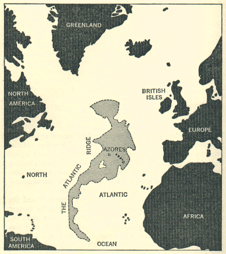
--------------------------------------
2006-12-31 14:16:44.5 39.27N 10.07W 112 ML3.5 NORTH ATLANTIC OCEAN
4.8 2007/01/01 01:05:13 32.785 -39.691 10.0 NORTHERN MID-ATLANTIC RIDGE
Strait of Gibraltar
--------------------------------------
2006-12-31 05:59:03.2 36.70N 9.76W 9 mb2.5 WEST OF GIBRALTAR
TAIWAN REGION (21.92N 120.46E)
(Third day symptom and possibly
volcanic - Very Strong)
http://realtravel.com

--------------------------------------
(One posted on the 29th and one posted on the 30th that came in on the 5th of January 2007.)
Turkey (Medium)
--------------------------------------
(I will try to add Greece and surrounding area to this general symptom.)
Seram, Indonesia (3.68S 128.44E)
(Third day symptom already at -
VERY STRONG. Possibly volcanic.)
www.travelblog.org
Nutmeg/Mace

--------------------------------------
2007-01-03 01:19:59 4.6mb 7.19S 129.38E 146 Banda Sea
(3 extra days)
Leilani Estates, HI area
(19.484 -154.893)
--------------------------------------
1.8 2006/12/31 07:22:05 20.004 -156.088 11.8 25 km ( 15 mi) WNW of Puako, HI
2.4 2006/12/31 21:17:13 19.393 -155.177 0.1 9 km ( 5 mi) SE of Volcano, HI
Svalbard Region
--------------------------------------
WESTERN LOFOTEN BASIN
Origin time Lat Lon Azres Timres Wres Nphase Ntot Nsta Netmag
2006-365:10.46.43.0 70.06 2.73 11.34 1.11 3.94 3 3 3 2.56
Peace to all.

posted by Unknown @ 1:37 PM
0 comments
![]()
![]()
