*For Monday, 8 May 2006.
LEGEND for OVERVIEW: Size = My surety of area for quake.
Red Circle = Probable quake to STRONG quake.
Triangle = Very Strong or Stronger quake (And usually takes extra days).
Blue Circle, etc. = Uncertainty of symptom area for probable quake.

Places to watch.
Good luck to all.
For Monday, 8 May 2006.
----------------------------------------
The New Madrid Fault
----------------------------------------
MAP 1.7 2006/05/08 00:59:02 36.250 -89.440 6.0 4 km ( 3 mi) ESE of Ridgely, TN
MAP 1.9 2006/05/09 11:12:22 36.570 -89.620 7.4 2 km ( 1 mi) W of Howardville, MO
Franz Josef Land (80.20 39.85)
----------------------------------------
BARENTS SEA
Origin time Lat Lon Azres Timres Wres Nphase Ntot Nsta Netmag
2006-128:07.30.17.0 76.98 40.54 9.20 0.14 2.44 2 2 1 2.39
BARENTS SEA
Origin time Lat Lon Azres Timres Wres Nphase Ntot Nsta Netmag
2006-129:07.12.53.0 76.19 47.98 3.62 0.37 1.27 2 2 1 2.18
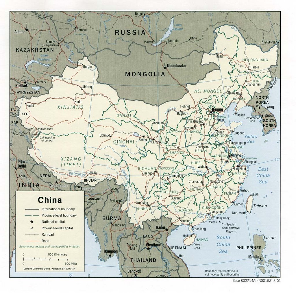
NORTHERN XINJIANG, China (43.72N 86.94E) (EXTREMELY STRONG - this symptom persisted the whole day and into the next. This may also move into Kyrgyzstan/Kazakhstan.)
http://goasia.about.com/gi/dynamic/
offsite.htm?site=http%3A%2F%2Fwww.lib.utexas.edu%2Fmaps%2Fchina.html>goasia
----------------------------------------
006-05-07 12:01:05.0 45.46 N 68.59 E ML 3.2 CENTRAL KAZAKHSTAN
Mongolia to Beijing, China (strong)
----------------------------------------
(Nothing found)
Coso Junction
----------------------------------------
MAP 2.0 2006/05/06 00:46:11 36.020 -117.889 3.8 6 km ( 4 mi) ESE of Coso Junction, CA
(3 days early)
Guadalupe Victoria, Mexico (Strong)
----------------------------------------
MAP 2.2 2006/05/07 18:04:19 32.338 -115.251 6.0 14 km ( 9 mi) WNW of Guadalupe Victoria, Mexico
MAP 3.1 2006/05/08 03:38:21 31.503 -115.670 6.0 12 km ( 8 mi) NNE of Lázaro Cárdenas, Mexico
MAP 2.0 2006/05/09 00:56:20 32.246 -115.108 6.0 5 km ( 3 mi) S of Guadalupe Victoria, Mexico
The Geysers (medium)
----------------------------------------
MAP 1.7 2006/05/08 00:58:23 38.834 -122.799 2.4 4 km ( 3 mi) N of The Geysers, CA
MAP 1.6 2006/05/08 06:23:42 38.821 -122.806 4.3 3 km ( 2 mi) N of The Geysers, CA
MAP 1.4 2006/05/08 16:23:07 38.817 -122.811 4.5 2 km ( 1 mi) N of The Geysers, CA
MAP 2.1 2006/05/08 16:02:54 38.800 -122.796 1.8 1 km ( 1 mi) E of The Geysers, CA
MAP 1.6 2006/05/08 18:27:20 38.818 -122.811 4.4 2 km ( 1 mi) N of The Geysers, CA
MAP 2.1 2006/05/08 18:40:47 38.817 -122.813 4.3 2 km ( 1 mi) NNW of The Geysers, CA
MAP 1.7 2006/05/09 08:38:04 38.824 -122.795 3.8 3 km ( 2 mi) NNE of The Geysers, CA
MAP 1.6 2006/05/09 10:35:17 38.817 -122.809 3.5 2 km ( 1 mi) N of The Geysers, CA
MAP 1.9 2006/05/09 12:48:40 38.795 -122.779 2.2 2 km ( 1 mi) E of The Geysers, CA
MAP 1.2 2006/05/09 21:54:30 38.806 -122.814 3.9 1 km ( 1 mi) NW of The Geysers, CA
MAP 1.5 2006/05/09 23:03:16 38.825 -122.795 3.8 3 km ( 2 mi) NNE of The Geysers, CA
Mozambique (Medium)
----------------------------------------
(Nothing found)
Utah/Wyoming/Yellowstone
----------------------------------------
MAP 1.3 2006/05/08 01:50:58 39.733 -110.736 0.7 11 km ( 7 mi) ENE of Helper, UT
MAP 1.3 2006/05/08 04:38:46 39.610 -110.394 1.0 6 km ( 4 mi) N of Sunnyside, UT
MAP 1.6 2006/05/08 04:34:04 39.615 -110.434 0.4 8 km ( 5 mi) NNW of Sunnyside, UT
MAP 1.7 2006/05/08 05:16:51 39.456 -111.207 9.4 24 km ( 15 mi) ESE of Mount Pleasant, UT
MAP 1.3 2006/05/08 05:07:24 46.803 -113.124 6.8 15 km ( 9 mi) N of Drummond, MT
MAP 1.6 2006/05/08 06:03:45 39.452 -111.205 9.1 24 km ( 15 mi) ESE of Mount Pleasant, UT
MAP 1.3 2006/05/08 09:19:33 44.673 -111.014 5.3 7 km ( 5 mi) E of West Yellowstone, MT
MAP 1.4 2006/05/08 12:14:05 44.624 -111.151 6.3 6 km ( 3 mi) SW of West Yellowstone, MT
MAP 1.8 2006/05/08 15:12:57 39.728 -110.746 0.0 11 km ( 7 mi) ENE of Helper, UT
MAP 1.8 2006/05/08 17:57:11 39.615 -110.398 1.3 7 km ( 4 mi) N of Sunnyside, UT
MAP 1.4 2006/05/08 18:03:34 39.726 -110.742 0.1 11 km ( 7 mi) ENE of Helper, UT
MAP 1.7 2006/05/09 17:31:00 39.613 -110.400 1.3 7 km ( 4 mi) N of Sunnyside, UT
MAP 2.1 2006/05/09 20:11:26 39.611 -110.399 0.8 7 km ( 4 mi) N of Sunnyside, UT
Papua New Guinea (medium)
----------------------------------------
2006-05-08 18:36:57.1 3.81 S 141.33 E 100 mb 5.4 NEW GUINEA, PAPUA NEW GUINEA
Honshu, Japan (Strong)
----------------------------------------
2006-05-08 16:23:34 5.2 22.30 N 143.33 E Volcano Islands, Japan Region
Portugal/Spain/Pyrenees (Medium)
----------------------------------------
2006-05-08 16:07:35.3 45.18 N 5.86 E 2 ML 2.8 FRANCE
2006-05-08 21:47:57.1 42.82 N 2.10 E 10 ML 3.6 PYRENEES
2006-05-08 22:04:30.6 42.83 N 2.11 E 2 ML 2.7 PYRENEES
SWABIAN JURA area (48.30 9.17)
----------------------------------------
(Nothing found)
Puerto Rico/Virgin Islands (medium)
----------------------------------------
MAP 2.9 2006/05/08 02:20:45 17.681 -67.755 13.9 68 km ( 43 mi) WSW of Pole Ojea, PR
MAP 2.1 2006/05/08 09:23:00 18.075 -66.109 15.5 6 km ( 4 mi) S of G. L. García, PR
MAP 2.9 2006/05/08 09:52:16 17.590 -67.826 104.9 80 km ( 50 mi) WSW of Pole Ojea, PR
MAP 1.6 2006/05/08 12:14:51 17.912 -66.858 10.0 8 km ( 5 mi) SSE of María Antonia, PR
Poland/Germany
----------------------------------------
2006-05-07 05:20:14.7 51.39 N 16.28 E 10 ML 2.6 POLAND
2006-05-07 21:10:52.9 50.00 N 18.58 E 6 ML 2.3 POLAND
2006-05-08 08:54:00.0 51.55 N 16.18 E ML 2.4 POLAND
2006-05-08 14:17:49.0 48.80 N 9.00 E 10 G ML 2.1 GERMANY
2006-05-08 14:58:37.2 51.50 N 16.09 E 4 ML 2.7 POLAND
2006-05-09 16:04:03.0 49.40 N 7.10 E 10 G ML 2.4 GERMANY
The Pinnacles area of The Parkfield Fault
----------------------------------------
MAP 1.3 2006/05/08 00:49:19 36.849 -121.454 6.4 5 km ( 3 mi) W of Hollister, CA
MAP 1.9 2006/05/08 00:34:26 36.847 -121.454 4.1 5 km ( 3 mi) W of Hollister, CA
MAP 1.7 2006/05/08 00:30:04 36.849 -121.451 4.4 5 km ( 3 mi) W of Hollister, CA
MAP 1.8 2006/05/08 02:39:15 37.222 -121.419 1.5 22 km ( 14 mi) NE of San Martin, CA
MAP 1.4 2006/05/08 07:27:56 36.518 -121.092 2.1 5 km ( 3 mi) ESE of Pinnacles, CA
Switzerland/Northern Italy area and then Central Italy (medium for both)
----------------------------------------
08May2006 16:44:20.5 41.2N 18.7E 80 mb=4.3 M*GSR ADRIATIC SEA
Mt. St. Helen’s
----------------------------------------
MAP 1.6 2006/05/08 10:54:10 46.196 -122.194 1.1 1 km ( 1 mi) WSW of Mount St. Helens Volcano, WA
Aegean Sea/Greece/Turkey area
----------------------------------------
2006-05-08 11:44:40.2 39.93 N 26.98 E 32 MD 3.1 TURKEY
2006-05-08 07:35:12 4.1 38.32 N 22.20 E Greece
2006-05-08 09:56:21.2 36.80 N 30.62 E 55 MD 3.0 TURKEY
2006-05-08 13:01:06.2 41.26 N 20.02 E 8 f ML 2.4 ALBANIA
2006-05-08 15:17:22.8 41.56 N 33.92 E 20 MD 2.7 TURKEY
2006-05-08 15:11:21.4 37.30 N 28.25 E 5 MD 2.7 TURKEY
2006-05-08 16:44:03.1 40.00 N 20.23 E 100 ML 3.7 GREECE-ALBANIA BORDER REGION
2006-05-08 16:53:37.1 37.80 N 27.48 E 10 ML 3.5 TURKEY
2006-05-08 18:22:55.9 37.14 N 34.83 E 19 ML 2.1 TURKEY
2006-05-08 20:45:45.7 39.13 N 33.34 E 5 MD 2.9 TURKEY
2006-05-08 23:06:06.0 37.80 N 27.47 E 23 MD 3.1 TURKEY
Lake Baikal, Russia (medium)
----------------------------------------
(Nothing found)
Northern Peru
----------------------------------------
MAP 4.6 2006/05/08 01:26:50 -11.062 -76.087 92.5 CENTRAL PERU
MAP 4.8 2006/05/08 15:07:42 6.659 -73.151 184.9 NORTHERN COLOMBIA
South Sandwich Islands (medium)
----------------------------------------
(Nothing found)
Possibly near ESE of Forks, WA (47.909 -124.271) (medium)
----------------------------------------
MAP 1.1 2006/05/07 21:08:44 46.635 -120.669 18.4 5 km ( 3 mi) NNW of Summitview, WA
MAP 1.5 2006/05/07 23:30:56 47.680 -120.324 0.6 8 km ( 5 mi) W of Entiat, WA
Peace to all.

posted by Unknown @ 3:49 PM
0 comments
![]()
![]()
