*For Monday, 24 July 2006.
LEGEND for OVERVIEW: Size = My surety of area for quake.
Red Circle = Probable quake to STRONG quake.
Triangle = Very Strong/Stronger quake (Usually takes extra days).
Blue Circle, etc. = Uncertainty of symptom area for probable quake.
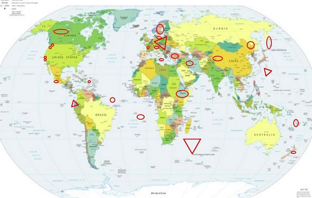
Places to watch.
(I don’t recall having so many symptoms
for one day. And 4 of them at Very Strong
or stronger. If this all happens on one
day - it will be noteworthy! Most of the
time with really strong symptoms the quakes
arrive up to 9 days later than for the posted
date.)
Good luck to all.
For Monday, 24 July 2006.
----------------------------------------
Puerto Rico Trench area (19.324N 67.293W)
(2 different symptoms - Strong)
----------------------------------------
1.9 2006/07/24 17:44:41 18.072N -66.854W 12.9 4 km ( 3 mi) N of Yauco, PR
2.7 2006/07/24 17:20:16 18.453N -67.398W 6.5 20 km (12 mi) NW of Rincón, PR
2.9 2006/07/24 05:46:28 18.679N -66.485W 62.0 24 km (15 mi) N of Tierras Nuevas Poniente, PR
3.2 2006/07/24 05:09:18 18.179N -67.878W 107.0 69 km (43 mi) WSW of Rincón, PR
3.2 2006/07/24 03:28:39 19.151N -64.541W 8.2 52 km (33 mi) NNW of Settlement, Anegada, British Virgin Islands
3.3 2006/07/24 01:00:36 19.074N -64.762W 0.0 60 km (37 mi) NW of Settlement, Anegada, British Virgin Islands
The Pinnacles area (Second day symptom - Strong)
----------------------------------------
1.3 2006/07/25 13:50:39 37.151 -121.540 8.4 9 km(5 mi) NE of San Martin, CA
1.4 2006/07/25 17:23:26 36.463 -121.038 5.8 12 km(8 mi) SE of Pinnacles, CA
1.9 2006/07/26 07:12:56 36.569 -121.131 4.5 4 km(3 mi) NNE of Pinnacles, CA
2.4 2006/07/26 13:39:35 36.826 -121.550 4.2 2 km(1 mi) SSW of San Juan Bautista, CA
1.6 2006/07/26 18:59:57 36.688 -121.355 0.0 12 km(7 mi) SSW of Tres Pinos, CA
2.8 2006/07/26 19:50:59 36.632 -121.249 10.2 15 km(9 mi) NW of Pinnacles, CA
(2 extra days)
Mt. St. Helen’s (Possible tiny eruption)
----------------------------------------
1.8 2006/07/24 21:26:36 46.195N 122.195W 0.2 1 km ( 1 mi) WSW of Mount St. Helens Volcano, WA
2.9 2006/07/24 11:39:29 46.202N 122.193W 0.0 1 km ( 1 mi) WNW of Mount St. Helens Volcano, WA
1.7 2006/07/24 08:45:38 46.197N 122.193W 0.0 1 km ( 1 mi) WSW of Mount St. Helens Volcano, WA
1.9 2006/07/24 00:36:42 46.195N 122.196W 0.5 1 km ( 1 mi) WSW of Mount St. Helens Volcano, WA
Sicily, Italy/Ionian Sea (Medium)
----------------------------------------
(Nothing found)
Yukon/Northwest Territories
----------------------------------------
2006/07/23 07:07:01 64.86N 133.53W 1.0* 2.3ML 289 km SE of Ft. McPherson,NT
2006/07/23 19:09:21 67.01N 135.38W 20.0* 2.3ML 63 km SW of Ft. McPherson,NT
2006/07/24 11:09:36 71.72N 74.50W 18.0* 1.9MN BAFFIN ISLAND SEISMIC ZONE,NT.
2006/07/25 23:40:18 62.61N 126.32W 1.0* 2.5MN 279 km NW of Ft. Simpson,NT
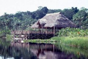
ECUADOR (1.51S 77.38W) (VERY STRONG)
http://www.southamericanexperience.co.uk/ecuador/ecuador_jungle.html>southamericanexperience
----------------------------------------
2006-07-24 19:46:26.6 15.57S 74.60W 10 mb4.9 NEAR COAST OF PERU
New Zealand (39.74°S, 176.69°E) (Medium)
----------------------------------------
Reference Number: 2599831/G
Universal Time: July 23 2006 at 0:37
NZ Standard Time: Sunday, July 23 2006 at 12:37 pm
Latitude, Longitude: 40.60°S, 173.26°E
Focal Depth: 180 km
Richter Magnitude: 5.5
Reference Number: 2600523/G
Universal Time: July 24 2006 at 11:53
NZ Standard Time: Monday, July 24 2006 at 11:53 pm
Latitude, Longitude: 43.28°S, 172.34°E
Focal Depth: 15 km
Richter Magnitude: 3.5
Southern Mid Atlantic Ridge (17.71S 13.64W)
----------------------------------------
(Nothing found)
Sweden area
----------------------------------------
SOUTH-WESTERN NORRBOTTEN SWEDEN
Origin time Lat Lon Azres Timres Wres Nphase Ntot Nsta Netmag
2006-205:14.52.27.0 66.59 18.74 1.85 0.45 0.92 2 6 2 2.17
GAEVLEBORG REGION SWEDEN
Origin time Lat Lon Azres Timres Wres Nphase Ntot Nsta Netmag
2006-205:17.19.33.0 61.01 15.20 10.63 1.52 4.17 3 4 2 2.87
Turkey (medium)
----------------------------------------
2006-07-24 11:18:30.5 37.84N 33.78E 11 MD3.1 TURKEY
Central Mid Atlantic Ridge (4.00N 32.11W)
(MEDIUM)
----------------------------------------
2006-07-27 17:36:18 4.9 0.73N 27.20W Central Mid Atlantic Ridge
(3 extra days)
Kamchatka/Kurils area (Second day symptom
and harder - Strong.)
----------------------------------------
23Jul2006 04:27:40.6 44.4N 147.1E 90 MS=3.0 M GSR KURIL ISLANDS
23Jul2006 07:08:26.7 50.5N 157.6E 33 MS=3.4 M GSR KURIL ISLANDS
2006-07-24 11:05:36.6 55.31N 160.68E 50 mb3.5 KAMCHATKA PENINSULA, RUSSIA
2006-07-24 16:14:13.4 43.73N 147.18E 60 mb4.9 KURIL ISLANDS, RUSSIA
Ethiopia (11.39N 40.99E) (Strong)
----------------------------------------
(Nothing found)
XIZANG (34.37N 82.35E)
----------------------------------------
(Nothing found)
Entiat, Washington (47.714N 120.186W)
----------------------------------------
3.1 2006/07/24 23:13:37 47.637N 120.207W 6.7 4 km ( 3 mi) S of Entiat, WA
1.5 2006/07/27 02:41:54 47.670N 120.320W 1.7 8 km ( 5 mi) W of Entiat, WA
(3 extra days)
BONIN ISLANDS, JAPAN, REGION (27.30N 140.15E)
(Very Strong)
(A young couple’s whale watching trip.)
http://www.zoology.ubc.ca/~bwilson/bonin/bonin.html>zoology.ubc.ca

----------------------------------------
(Came in on the 26th and posted there.)
VANUATU ISLANDS (20.7S 169.0E) (Strong)
----------------------------------------
25Jul2006 20:32:33.1 11.7S 166.5E 33 mb=5.2 M*GSR SANTA CRUZ ISLANDS
Western Iran (33.81N 48.66E) (2 different symptoms -
Strong)
----------------------------------------
2006-07-24 01:24:07.8 37.03N 54.94E 4 M3.1 IRAN-TURKMENISTAN BORDER REG
24Jul2006 22:51:04.1 32.4N 49.8E 20 mb=4.6 M*GSR WESTERN IRAN
E Russia-NE China Border Region (49.73N 130.02E)
----------------------------------------
4.3 2006/07/26 20:51:07 43.571 130.573 566.1 JILIN-HEILONGJIANG BORDER REGION, CHINA
(4 extra days)
Switzerland (47.9N 8.4E)
----------------------------------------
(Nothing found)
Off the Coast of Southern Mexico
----------------------------------------
2006/07/24 14:39:28 17.53 97.98 63 4.2 38 km al SUROESTE de H
Baltic Sea (56.16N 20.53E)
----------------------------------------
2006-07-23 08:45:02.0 52.03N 48.28E ML3.0 BALTIC STATES-BELARUS-NW RUSSIA
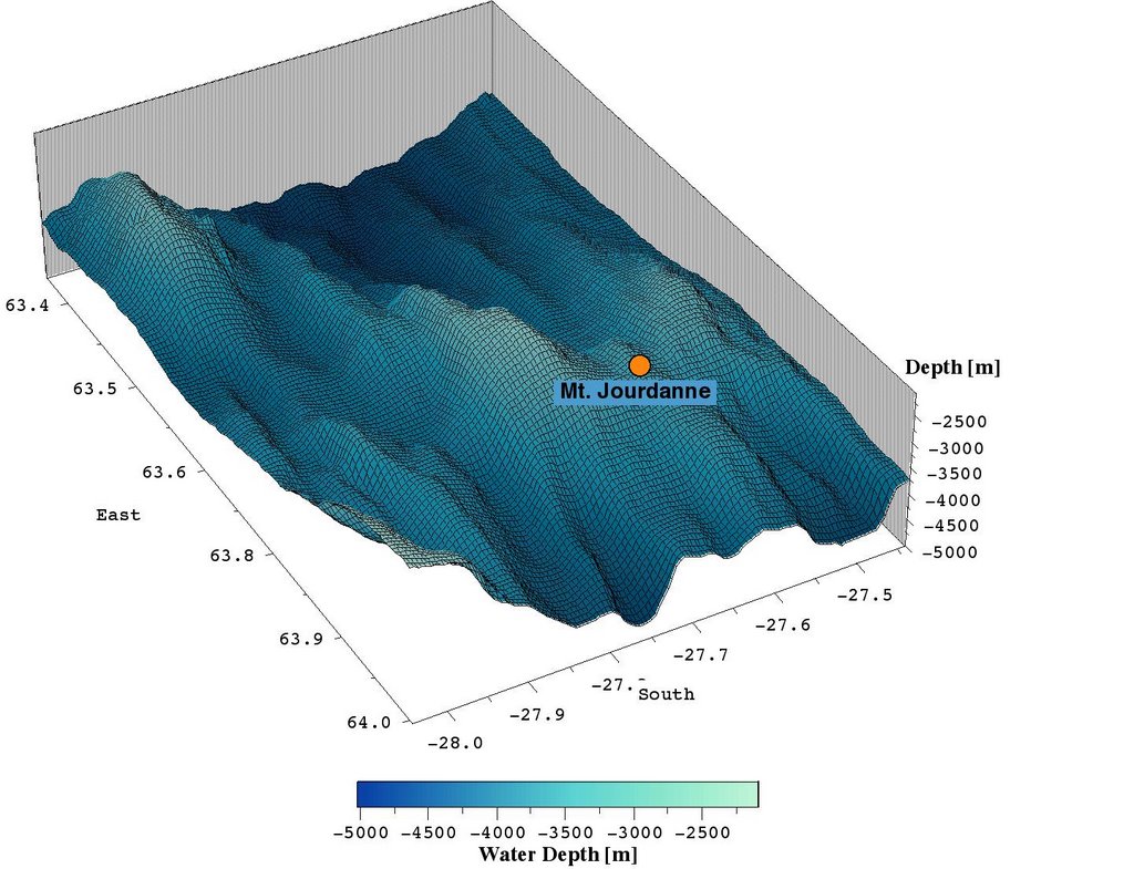
SOUTHWEST INDIAN RIDGE (37.8S 50.8E)
(Second day symptom and already at STRONG -
so making this Very Strong.)
http://userpage.fu-berlin.de/~rohstoff/Research/SWIR.html>userpage.fu-berlin.de
----------------------------------------
(Nothing found)
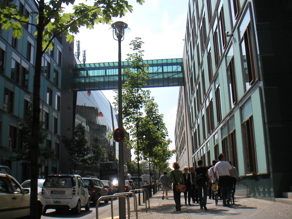
Germany/Poland area (Very Strong)
(A young man’s trip to Germany - nice pictures.)
http://mail.im.tku.edu.tw/~hungchih/Germany/page_01.htm>mail.im.tku.edu.tw
----------------------------------------
2006-07-23 12:54:18.7 51.17N 16.02E ML 2.0 POLAND
2006-07-24 11:00:00.5 50.20N 12.67E ML 2.1 GERMANY
France (46.99N 1.09W) (Medium)
----------------------------------------
2006-07-23 05:57:46.8 47.03N 2.75E 10 ML 2.4 FRANCE
2006-07-23 18:59:13.9 40.28N 1.03W 18 ML 3.2 SPAIN
2006-07-23 19:50:57.5 40.32N 1.00W 12 ML 3.4 SPAIN
2006-07-23 20:18:57.4 43.40N 3.40E 10 ML 2.9 NEAR SOUTH COAST OF FRANCE
2006-07-24 17:20:23.2 42.52N 2.22E 10 ML 2.7 PYRENEES
Devore, California area (34.237 -117.456)
(MEDIUM)
----------------------------------------
2.0 2006/07/24 00:15:07 35.044 -117.675 0.0 3 km ( 2 mi) NNW of Boron, CA
1.8 2006/07/24 13:08:45 35.836 -117.711 5.2 23 km ( 14 mi) NNE of Inyokern, CA
1.3 2006/07/24 14:00:01 33.895 -117.615 7.6 5 km ( 3 mi) WNW of Corona, CA
1.9 2006/07/24 23:50:58 35.035 -117.677 0.0 3 km ( 2 mi) NW of Boron, CA
1.6 2006/07/26 15:42:31 34.076 -117.880 21.9 2 km ( 1 mi) S of Covina, CA
Peace to all.

posted by Unknown @ 5:33 PM
0 comments
![]()
![]()
